ACS Download Tool
This tool provides an interface for downloading American Community Survey (ACS) data typically used in Nelson\Nygaard analyses. Currently, only 5-year estimates are available through the tool. Data is available at the country, tract, and block group level for 2010 - 2019 (as tables are available for particular years). More features and variables will continue to be added to the tool, please request features by taking this short survey. You can download the data with or without geometries (i.e. shapefiles), and you must join the data yourself after making any edits (if neccessary) to the tabular data.
LEHD Download Tool
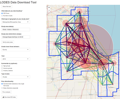
The LEHD download tool was developed by Paul Leitman using R/Shiny. The tool allows users to download data for the number of jobs or for employee travel flows between home and work geographies. It relies on data from the US Census Bureau’s LODES datasets.To improve Nelson\Nygaard’s analysis capabilities and reduce the staff hours to extract LEHD data, the tool exports data as CSV, Excel and as shapefiles. Additionally, the tool allows data to be summarized into 14 different geography types, as well as custom geographies or into a grid of squares or hexagons (which are generated directly in the tool). Thanks to Paul Leitman for setting this up.
Coordinate System Reference Tool
A tool for selecting the appropriate State Plane (projected) coordinate system based on location within the United States.
NN Project Mapping Tool
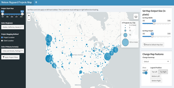
Thanks to the work done over the past couple of years to get NN’s entire project history into The Hub, we now have a relatively clean database of all the projects we have worked on or are working on. This enabled Bryan Blanc to set up an interactive mapping tool using Shiny, which will help the marketing team generate customized maps easily for inclusion in proposals. You can filter by sector, date, and region, and pan and zoom as needed to compose the perfect map for your proposal. Try it out here!

